
Geography of Uttar Pradesh
Uttar Pradesh is bounded by Nepal on the North, Himachal Pradesh on the north west, Haryana on the west, Rajasthan on the south west, Madhya Pradesh on the south and south- west and Bihar on the east. Situated between 23o 52'N and 31o 28 N latitudes and 77o 3' and 84o 39'E longitudes, this is the fourth largest state in the country. (A part of Uttar Pradesh has been separated and formed into a new state Uttarakhand on November 9th 2000. The details given here are before the separation).
Uttar Pradesh can be divided into three distinct hypsographical regions :
1. The Himalayan region in the North
2. The Gangetic plain in the centre
3. The Vindya hills and plateau in the south
Uttar Pradesh forms a major area of the Northern fertile plain or the Indo-Gangetic plain. This area is said to have been occupied by the group of people referred to as "Dasas" by the Aryans. The main occupation of these inhabitants were agriculture. Till BC 2000 the Aryans had not settled in this region. It was through conquest that the Aryans occupied this area and laid the foundations of a Hindu civilization. The regions of Uttar Pradesh was said to have been the ancient Panchala country. The great war of the Mahabharata between the Kauravas and Pandavas was said to have been fought here. Besides the Kauravas and Panchalas the Vatsas, the Kosis, Hosalas, Videhas etc formed the early region of Uttar Pradesh. These areas were called Madhyadesa. It was during the Aryan inhabitation that the epics of Mahabharata, Ramayana, the Brahamanas and Puranas were written. During the reign of Ashoka, works for public welfare were taken up. Having rich resources there was active trade within and outside the country. The rule of the Magadha empire brought Buddhism and Jainism into this region. This period witnessed administrative and economic advancement.
The Kushanas exercised their power over this region till 320AD. The territory passed into the hands of the Guptas during whose rule, the Huns invaded this region. After the decline of the Guptas, the Maukharis of Kannauj gained power. During the rule of Harshavardhana, Kannauj was an important city. After his rule political chaos set it. It was amidst this confusion that the Muslims invaded into Utter Pradesh though the society was dominated by the Rajputs, jats and other local chiefs. In 1016AD Mahmud of Ghazni laid his eyes on the wealth of Kannauj. He was followed by Mohammad Ghori. Throughout the rule of the Delhi Sultanate and the Mughals, the territory progressed. After the Mughals, the Jats, the Rohillas, and the Marathas established their rule. By 1803 the British controlled this region and annexed it by 1856. It was in the Uttar Pradesh (The period between 1857-58) that the first struggle for liberation from the British yoke was unleashed. The revolt was suppressed and from then till independence it remained under British dominance. In 1950 the state was organized and named as Uttar Pradesh.
The state of Uttar Pradesh has an area of 240,928 sq. km. and a population of 166.20 million. There are 72 districts, 821 blocks, 52021 Panchayat and 107452 villages. The State has population density of 689 per sq. km. (as against the national average of 312). The decadal growth rate of the state is NA (against 21.54% for the country) and the population of the state continues to grow at a much faster rate than the national rate. Lucknow, the capital of the state, constitutes the Lucknow district.
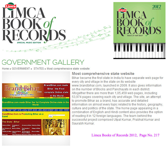
Bihar became the first state in India to have separate web page for every city and village in the state on its website www.brandbihar.com (Now www.brandbharat.com)
See the record in Limca Book of Records 2012 on Page No. 217